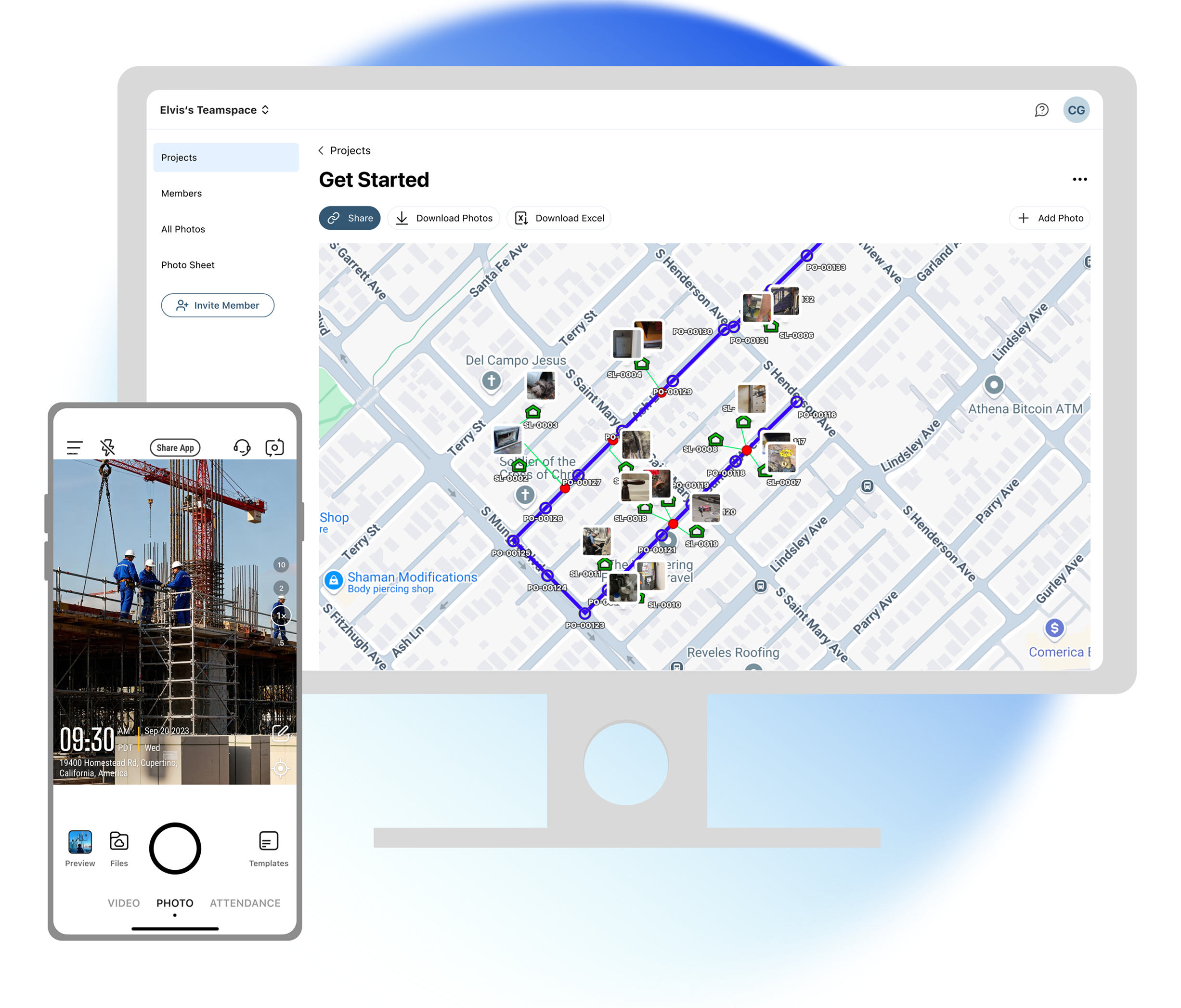
Import your design KML onto your photo map and verify planned vs. actual on the spot. Field crews capture, office teams compare and sign off — all in one place. No exporting, no separate GIS tool.

.webp)
Your field photos are geotagged, and your design lives in a separate KML file. Until now, comparing the two meant loading both into a GIS tool and overlaying them by hand. With Timemark, it all happens in one place. Import your design KML straight onto your photo map and compare planned vs. actual on the spot. No exporting, no extra tool.

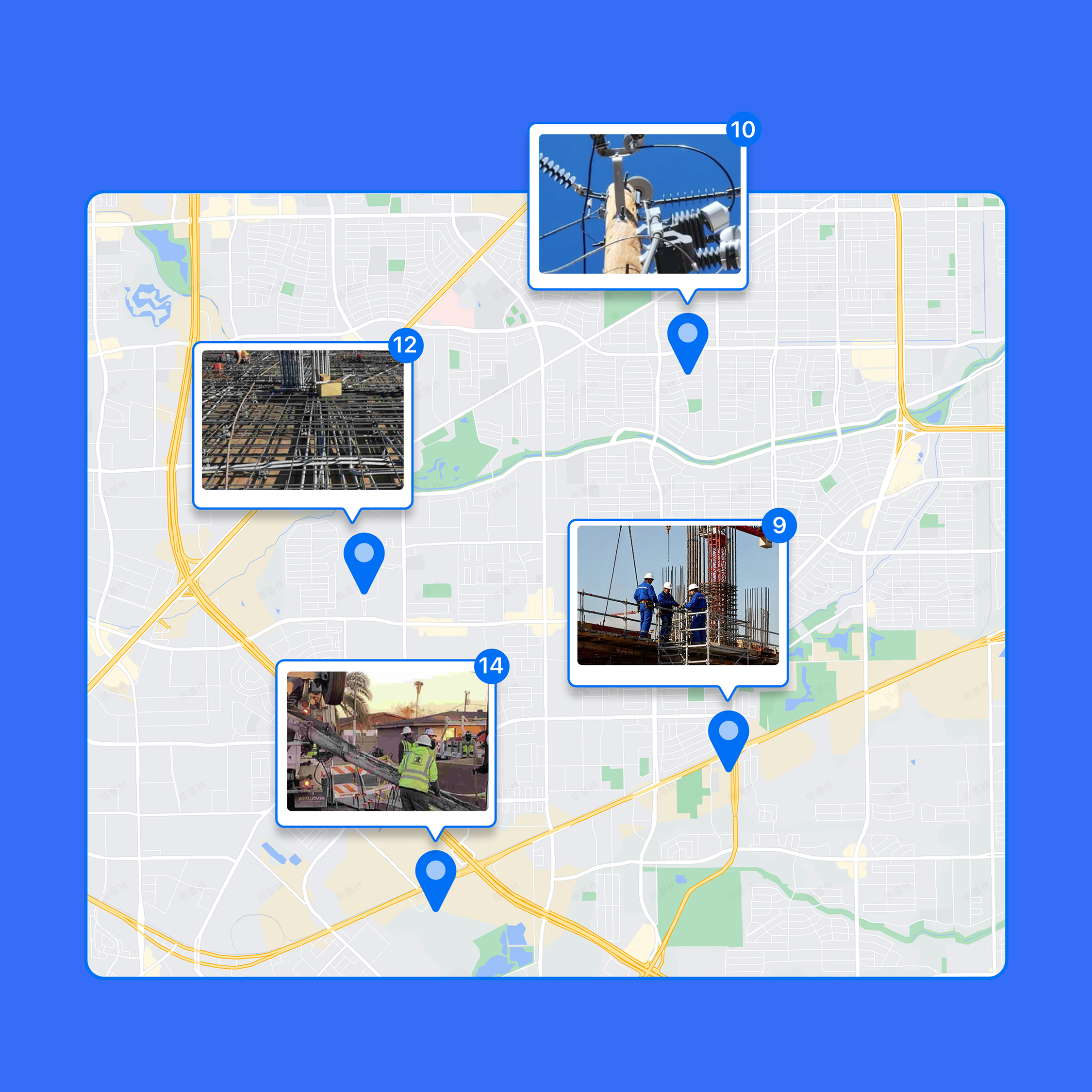
Every photo you take is stamped with GPS and time instantly. No digging through metadata, no manual entry. Open the map and your whole site is already there, so you can see where work happened at a glance.
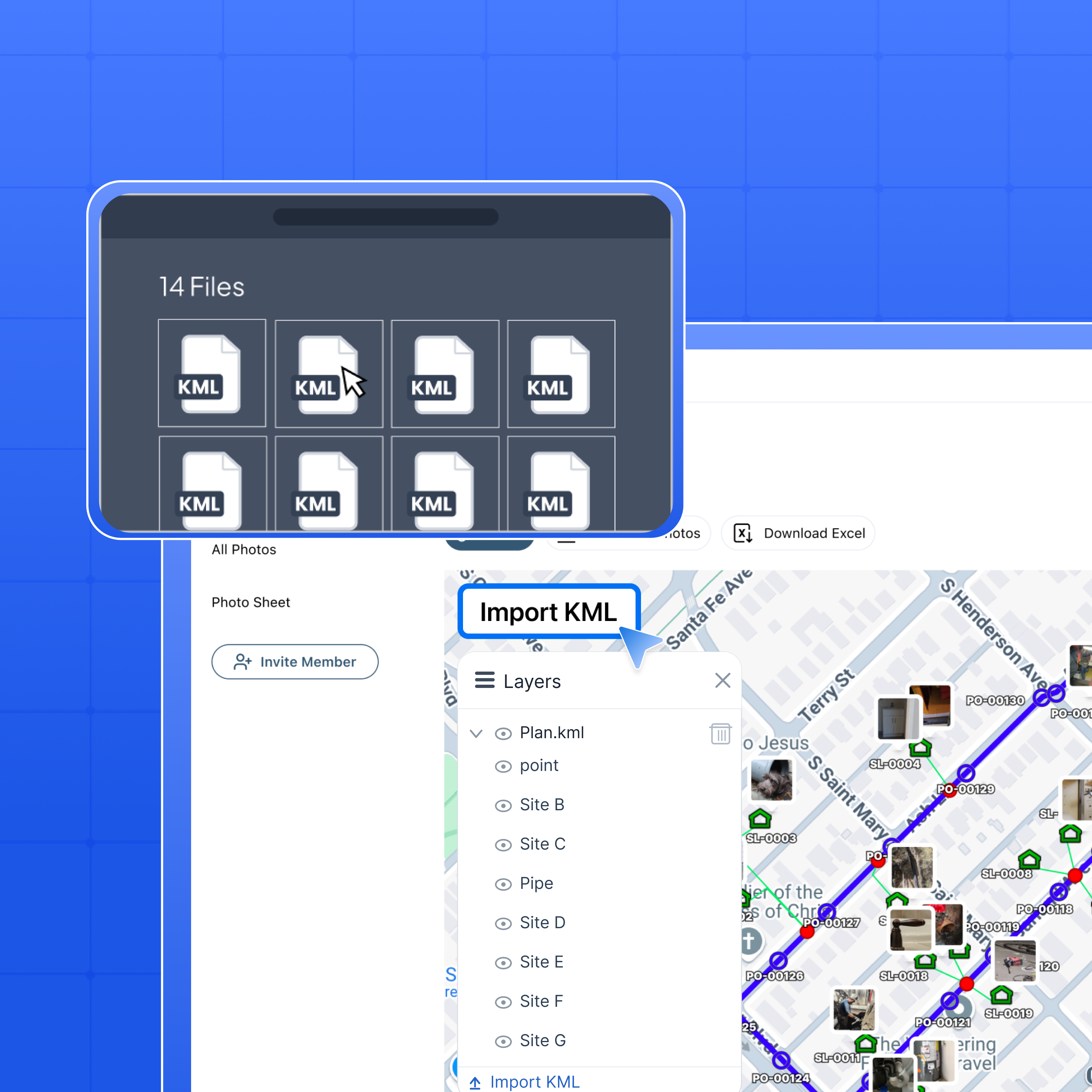
Upload your engineering design file straight onto the photo map. Points, lines, and polygons render as a KML overlay right on your photos. No conversion, no third-party tools.
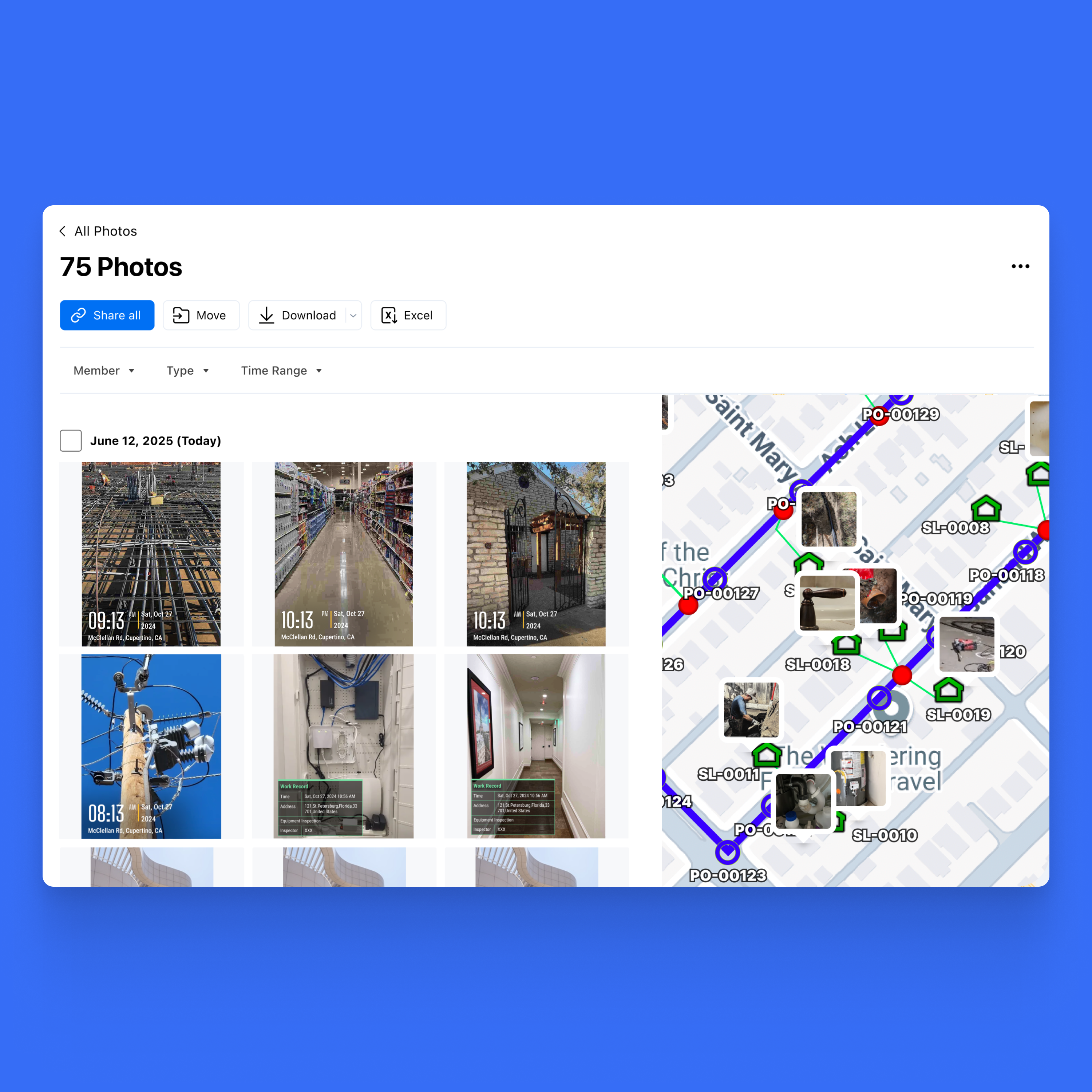
See photo locations and design coordinates in one view. Catch where the work drifts off-plan before it turns into a dispute. Built for office teams on the web.


Fiber & Telecom
Check splice pits and handholes against the planned cable route before each segment is signed off.
Pipeline & Utilities
Overlay the design alignment on your field photos for inspection and acceptance, deviation by deviation.
Civil & Construction
Track built work against design plans on one map, a clear visual record for clients and supervisors.
Survey & Inspection
Cross-reference inspection photos with the designated survey areas, location by location.
Catch Deviations Before
Sign-Off
Overlay the design KML on your field photos and check each segment against the plan. Spot wrong installs or off-route work early, and fix them before they turn into a rework or a failed acceptance.
Settle Disputes with GPS Proof
Each photo carries a timestamp and the exact spot it was taken. That's proof you can trust. If a client or vendor disputes the work, show the geotagged evidence against the design KML. No more guesswork.
One Map for Field and Office
Field crews shoot on mobile, the office verifies on web, all from one map. No exporting, no switching tools, no version mix-ups. Everyone works from the same picture.
Privacy and safety matter for your construction photos. Timemark’s construction progress photography keeps every shot secure with GPS and date stamps, providing full context for every image. Once uploaded, photos stay exactly as-is—no edits allowed. Trustworthy site documentation, always reliable for legal and compliance needs.

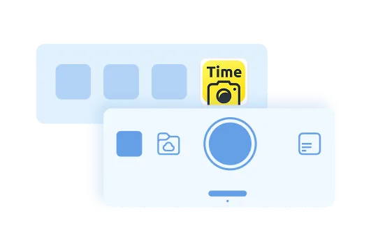
Download Timemark now to add verifiable timestamps to photos and create your team’s organized photo workflow fast.