
A Fast and Reliable Way to Meet HEAR Program Photo Requirements
Jane Zhang · Jan 28, 2026
What the DOE Guidance Recommends (And Why It’s So Hard to Get Right)
According to DOE and PNNL photo collection guidance, teams are advised to:
- Use the system camera on the phone
- Turn on photo location (GPS) settings
- Capture photos with location and time metadata
- Verify photo locations and timestamps before submission
- Carefully upload photos without stripping EXIF data
On paper, this sounds reasonable. In real life, it often goes wrong.
The Hidden Problems With Regular Camera Photos
1. Location Data Can Be Lost Easily
But that data is fragile. It can be stripped out easily when:
- Sending photos through messaging apps
- Uploading from certain Android devices
- Saving photos to cloud tools that compress images
- Editing or renaming files
No photo location. No proof.
2. Some Devices Lose Photo Locations More Often
When this happens, programs may ask for:
- Screenshots of the photo showing location
- Extra supporting documents
- Additional DOE review
This adds days or even weeks to the approval process.
3. Verifying EXIF Data Is Not Easy
When HVAC contractors manage multiple projects, confirming photo compliance becomes a manual burden. Reviewers need to dig into hidden EXIF metadata and cross-check each photo’s time and GPS coordinates against job records.
Additionally, sorting through dozens of images to figure out which photo belongs to which home or unit is slow, error-prone, and hard to scale.
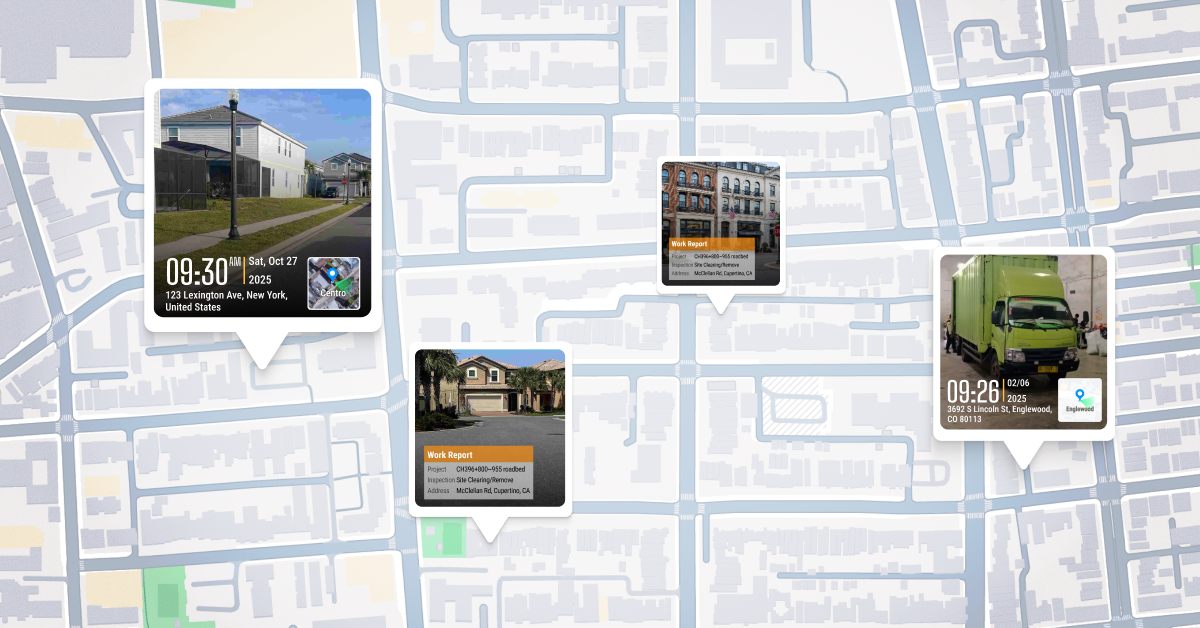
A Better Way: Timemark Photos That Are Compliant From the Start
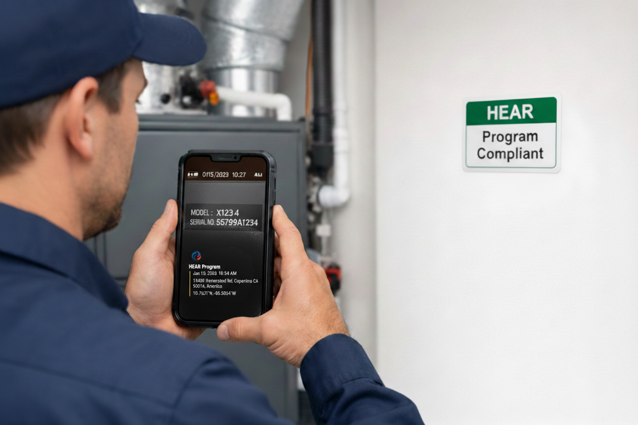
- Date
- Time
- GPS location
- Logo
- Project name
- Team member
How to Take Geotagged Photos with Timemark
Using Timemark to capture geotagged photos is designed to be "stupidly easy" for field crews. Here's a 3-step quick start guide:
- Step 1: Launch Timemark and sign in to Teamspace. Create a new project and select the template that best fits your specific workflow.
- Step 2: Snap your geotagged photos directly through the app. The app automatically pulls your photo location and verified network time so you don't have to worry about how to timestamp photo on iPhone or Android manually.
- Step 3: Your geotagged photos and photo locations are saved automatically. Even if you're working offline, the app stores your photogps data locally and syncs everything to the cloud workspace the moment you’re back online.
This video shows how Timemark captures and organizes geotagged photos in action step by step.
Built for Government Photo Requirements
Timemark helps teams create:
- Geotagged photos reviewers trust
- Clear photo location visible on the image
- Reliable photo GPS proof
- Shareable files that never lose location data
That means:
- No screenshots required
- No need to dig through metadata
- No lost photo locations
- No extra explanations
- No second-round DOE review
Final Thought
If your team works with rebates, inspections, or audits, photo errors are not small mistakes, they are delays.
And that keeps your projects moving.
About Timemark
Timemark is a jobsite photo documentation app with timestamp, GPS geotag, and on-site notes. With Teamspace, field teams can automatically collect, organize, search, and export job photos across projects.
Timemark empowers construction, field service, telecom, and transportation teams to capture verifiable job photos to prevent disputes, support claims, and ensure project transparency. Timemark makes job photos trusted, organized, report-ready, and searchable. For setup instructions and product guidance, visit the Timemark Help Center.